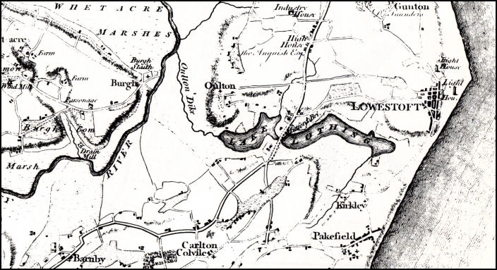
Above: A 1797 map of the Lowestoft area. At this time Lake Lothing was not yet connected to the sea. The connection was made in the 1830s which created Lowestoft's Inner Harbour, prior to which the Lowestoft fishing fleet landed their catches on the beach. This map also shows that the name of Oulton appears where St.Michael's Church is situated rather than where the present day village is. This probably just signifies that St.Michael's is the parish church of Oulton.
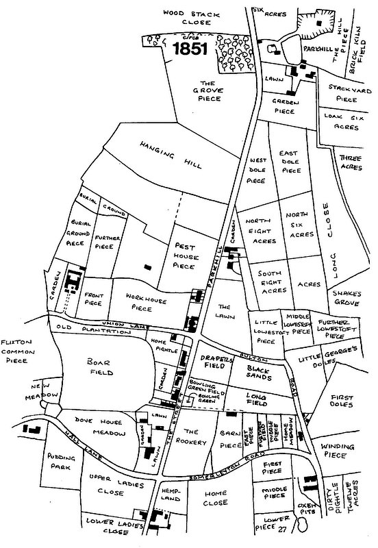
Above: 1851 map showing the names given to the land areas around the village.
Researched and drawn by Ivan A.W. Bunn
Researched and drawn by Ivan A.W. Bunn